|
|
|
|
. |
The
Official Website of |
. |
. |
|
. |
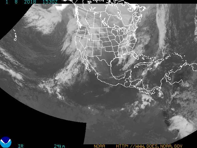
Images from NOAA Satellite and Information Service |
www.DaytonaVisit.com |
. |
|
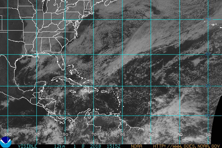
East CONUS |
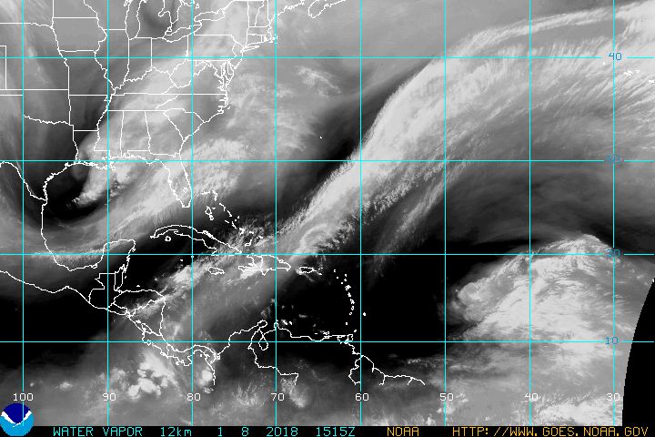
Gulf Atlantic |
Atlantic |
Gulf Mexico |
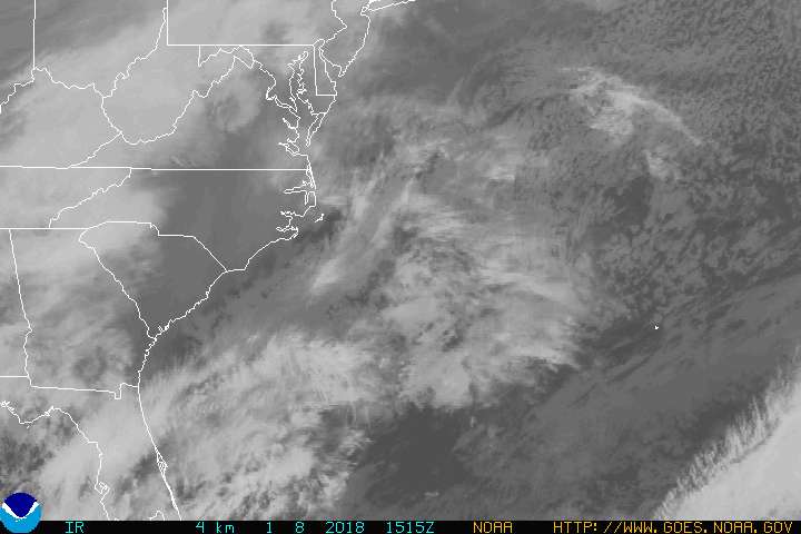
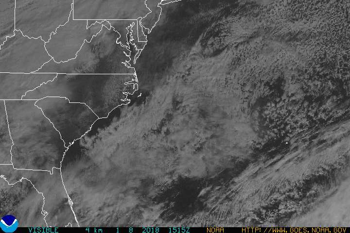
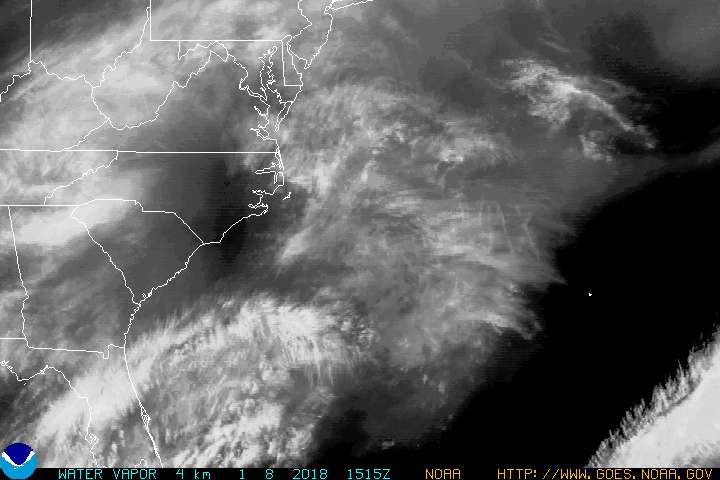
East Coast |
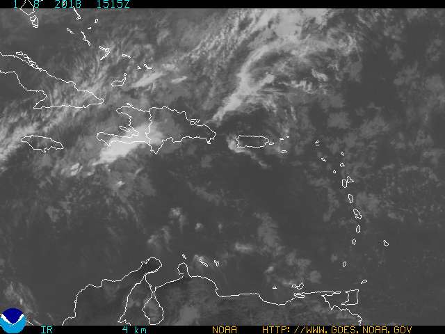
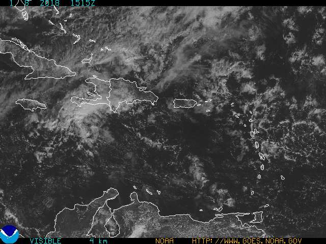
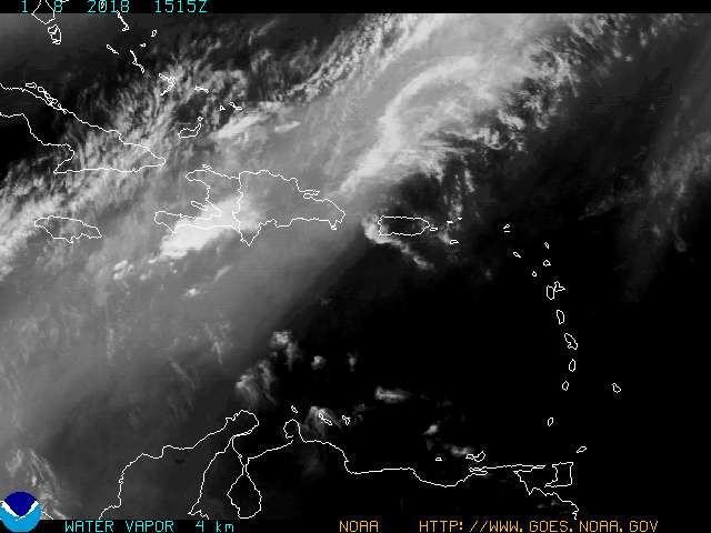
Puerto Rico |
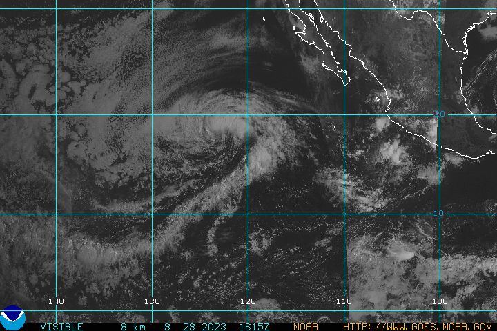
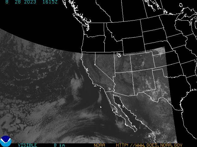
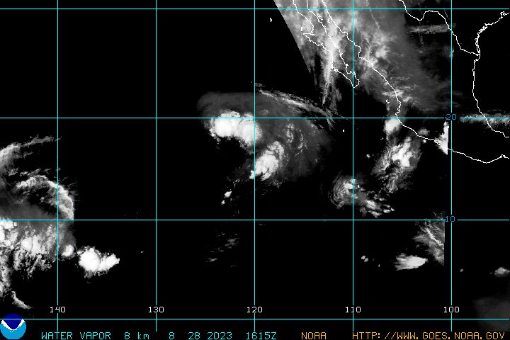
Pacific |
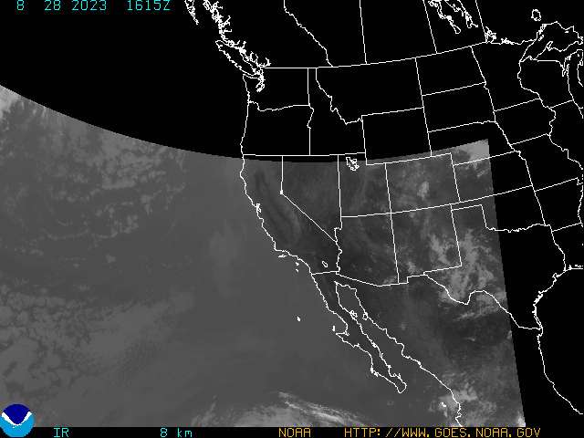
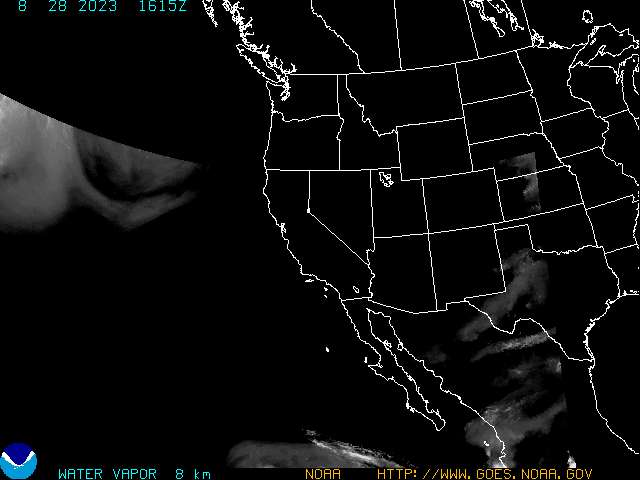
West CONUS |
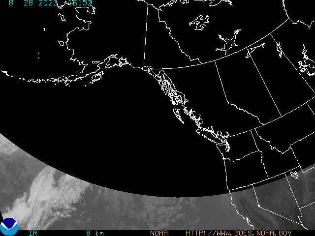
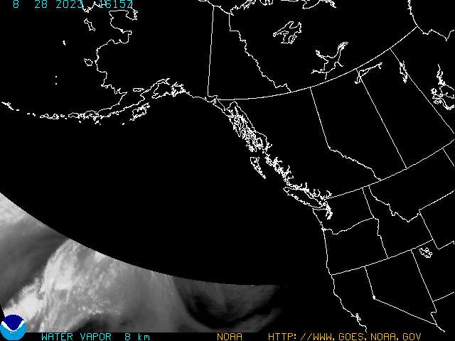
Alaska |
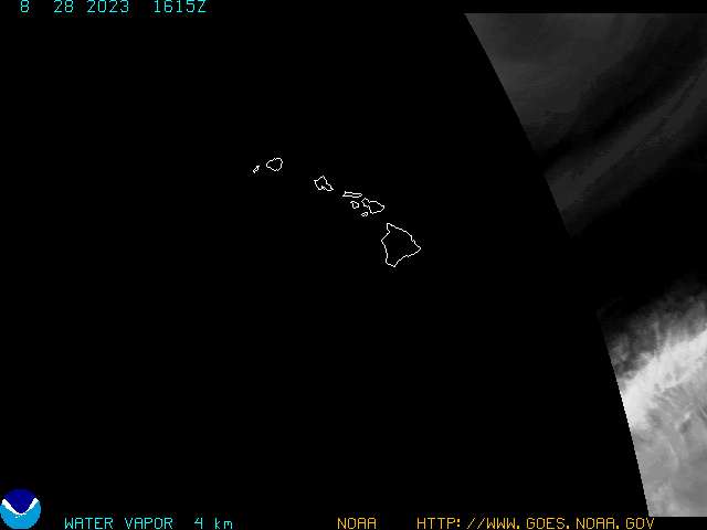
Hawaii |
|
COLOR
ENHANCED IMAGES |
|||||||||
|
GLOBAL IMAGES (INFRARED) |
|
|
|
Thank you for visiting ![]() www.DaytonaVisit.com
www.DaytonaVisit.com

